The Encyclopedia of Cleveland History

|
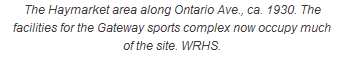
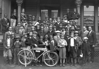
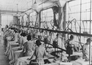
MAPLE HEIGHTS - The Encyclopedia of Cleveland HistoryMAPLE HEIGHTS incorporated as a village in July 1915 and as a city on 1 Jan. 1932. It is a 5 sq. mi. residential and industrial community approx. 10 miles southeast of downtown Cleveland. Bounded on the north by Cleveland and WARRENSVILLE HEIGHTS, on the south by BEDFORD and WALTON HILLS, on the east by BEDFORD HEIGHTS, and on the west by GARFIELD HEIGHTS, it was originally the northwest part of Bedford Twp., established in 1823. Benjamin Fitch of Connecticut was the first known white settler of the area in 1813. John Dunham, who came in 1817, built the road known as Dunham Rd., which gave access to the OHIO AND ERIE CANAL after 1827. The area grew and developed with the opening of the Cleveland & Pittsburgh Railroad (1849) and the Connotton Valley Railroad (1881). The Akron, Bedford & Cleveland interurban line was also completed through the area in 1895 and operated until 1932 (see INTERURBANS, and LITHUANIANS began to settle in the area to work in the industries of nearby NEWBURGH. The first CZECHS were the families of Joseph Uhlik, Joseph Hodous, and P. N. Tresnicka. The first Slovenian families were those of Martin Potisek (1906) and John Rybak (1909). In 1914 the residents of the Maple Grove area, when annexation to Bedford Village seemed imminent, voted to form their own community. Maple Hts. Village, named for its many maple trees, had a population of 1,000 upon incorporation. The village continued to grow with immigrants from Southern and Eastern Europe, many of whom moved from Cleveland (see IMMIGRATION AND MIGRATION). In 1930 the population was 5,950. A city charter providing for a mayor-council form of government was adopted in June 1930. The city expanded industrially primarily along Dunham Rd. Plants included the Aluminum Smelting & Refining Co., Charles Svec, Inc., LEMPCO INDUSTRIES, INC., and the Dunham Industrial Park. Later companies located along Rockside Rd., including Kraft Foods, COOK UNITED, INC., and the JONES AND LAUGHLIN STEEL CORP. (CLEVELAND WORKS) Warehouse. A building boom followed World War II. Mapletown shopping center was built in 1947 at Libby and Broadway, and SOUTHGATE SHOPPING CENTER was begun in 1951. The population burgeoned from 6,728 in 1940 to 15,586 in 1950, then rose to 31,667 in 1960. In 1985 Maple Hts. had its own school system, a variety of churches, and many cultural, social-service, and recreational organizations, including one of the four regional libraries of the CUYAHOGA COUNTY PUBLIC LIBRARY SYSTEM (CCPL). Its population in 1990 was 27,089 and in, 2000 was 26,156. Last Modified: 22 Jun 2003 02:19:24 PM
This site maintained by Case Western Reserve University
|